SatWater 2.0 paves the way for improving satellite data interpretation tools for water resource management.
- The incorporation of new time series data in the second phase of the project allows for improvements and more precise calibration of the algorithms.
- The implementation of the SatWater platform for the analysis of larger water bodies with different physicochemical characteristics enables the definition of KPIs and enhances the robustness of result interpretation.
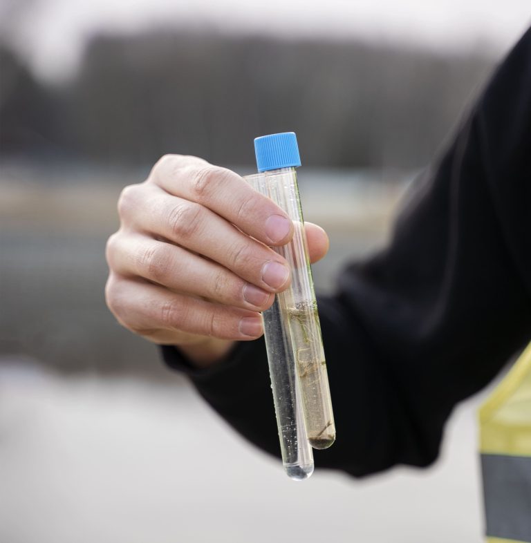
Surface water bodies have always been, and especially in the current context of water scarcity, a strategic resource for ensuring access to water in the medium and long term. However, the effects of climate change threaten this resource not only in terms of quantity but also in terms of quality (due to algal blooms, increased organic matter, or higher concentrations of potentially contaminating compounds). These situations require constant monitoring, as well as an increase in technical and economic resources to ensure water quality at all times.
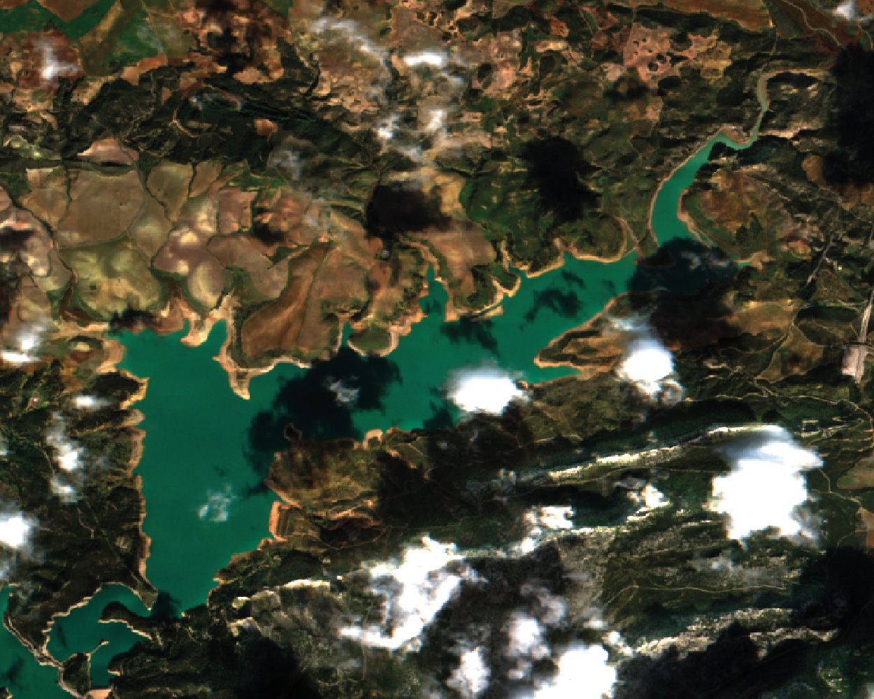
SatWater 2.0 builds on the results of the previous phase and focuses on improving algorithms for interpreting and predicting episodes of water quality loss in surface water bodies using satellite imagery. The expansion from the first phase, which focused on the Agulla Lake and Banyoles Lake, to new, larger water bodies with different characteristics—such as Sau, Susqueda, El Pasteral, Guadalteba, Guadalhorce, Conde de Guadalhorce, La Encantada, Casasola, and Limonero—allows for enhancements to the tool, increasing its reliability and predictive power. During this second phase of the project, the platform for data acquisition, interpretation, and visualization has also been implemented at EMASA’s facilities, while improving the functionalities of the first version of this tool, which was already implemented during the first phase at Aigües de Manresa’s facilities. The ultimate goal is for these advanced platforms to interpret information from physicochemical parameters and satellite images, combined with external data (such as weather or intake data), to define informative KPIs that will help water management companies anticipate episodes of quality loss and prepare appropriate responses.
SatWater 2.0 is funded by MINCOTUR through the 2023 call for Innovative Business Groups, and its consortium is made up of Createch Drinking Water Solutions, Createch Solutions, Aigües de Manresa, EarthPulse, Neurite, and EMASA.
