Descripció del projecte
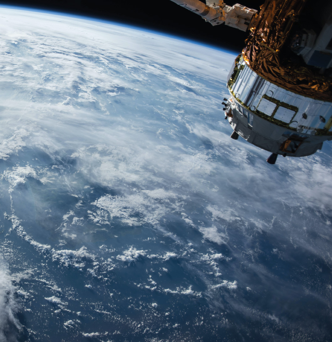
In the current context of drought and climate change, surface freshwater bodies are increasingly strategic long-term resources to guarantee water availability. Even so, the effects of the drought and the reduction of precipitation cause the reduction of volumes of these bodies of water and the consequent worsening of their quality due to the concentration of compounds and the proliferation of algae. SatWater 2.0 is the second phase of the project, which aims to improve the tool developed during the first phase, which was able to monitor and predict quality loss events based on the use of satellite images. During this second phase, the tool will become more robust, through its validation in new large water bodies with physicochemical and topographical conditions complementary to those of the first phase. In this second phase, the already existing tool will also be equipped with an early warning system to anticipate episodes of quality loss and an interface to generate a visualization of the set of results obtained in an effective way and useful for optimal catchment management. The results of SatWater 2.0 will also serve to quantify the reliability of the results coming from the analysis of satellite data for their application in useful indicators for the management of water supply systems.
Logo del projecte:
Finançament del projecte:
Agrupaciones Empresariales Innovadoras 2023
Objectiu
In the current context of drought and climate change, surface freshwater bodies are increasingly strategic long-term resources to guarantee water availability. Even so, the effects of the drought and the reduction of precipitation cause the reduction of volumes of these bodies of water and the consequent worsening of their quality due to the concentration of…
Període:
| Inici | 01/05/2023 |
| Final | 30/04/2024 |
Coordinador del projecte:
Participants del projecte:

