Descripció del projecte
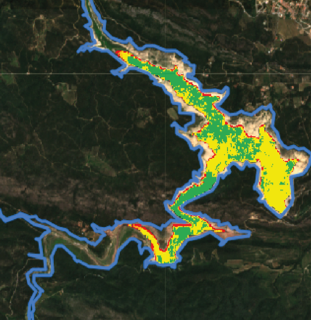
The aim of the project is to develop an innovative tool that allows increasing knowledge about the quality of surface water bodies to predict their behavior and the evolution of parameters linked to quality, such as turbidity, chlorophyll concentration or the presence of algae. SatWater is the first phase of a total of three proposed phases that will have the final objective of offering management and exploitation entities of surface water masses a tool that will allow them to optimize exploitation efforts and anticipate future episodes of decrease in water quality, generally due to the effects of pollutants and climate change.
Throughout the first phase of the project, a combination of advanced satellite image processing models, water quality parameter data and meteorological data, among others, will be used. Predictive control of quality levels of surface water bodies will be achieved through the combined interpretation of these data sets by means of algorithms specially developed and calibrated to provide reliable responses within historical behavior patterns and parameters considered normal in relation to the general quality of these bodies of water. In this first phase of the project, work will be carried out in two specific locations such as the Estany de Banyoles and the Llac de l’Agulla de Manresa. Through the use of this tool, the entities managing and exploiting these bodies of water will be able to anticipate responses to avoid episodes of risk or reduce operational and control costs, also improving knowledge of the behavior and evolution of these bodies over time.
The project is financed by the call for aid to the Innovative Business Groups (AEI) of the MINCOTUR. It is led by CWP and participated by Createch Solutions, Createch Drinking Water Solutions, EarthPulse, Aigües de Banyoles and Aigües de Manresa.
Logo del projecte:
Finançament del projecte:
SatWater (AEI-010500-2022b-239) ha estat cofinançat pel Ministerio de Industria, Comercio y Turismo (MINCOTUR) en la segona convocatòria d’Agrupaciones Empresariales Innovadoras (AEIs) del 2022 en el marc dels ajuts Next Generation i el Plan de Recuperación, Transformación y Resiliencia.

Objectiu
Develop a tool that allows, through the interpretation of satellite images, to anticipate episodes of declines in the quality of surface water bodies.
Període:
| Inici | 01/08/2022 |
| Final | 14/04/2023 |
Coordinador del projecte:
Participants del projecte:
